Utah · United States
Utah travel guide: red rock parks, real powder, and the roads between
Five national parks, fifteen ski resorts and 300 miles of canyon country inside one state. This guide sorts the drive times, permits and seasons first — so the rest of the planning is easy.
- 5
- National parks
- 15
- Ski resorts
- 4.5 h
- SLC to Zion
- 8,000 ft
- Bryce rim
Where to start
Utah is really two destinations stacked on top of each other
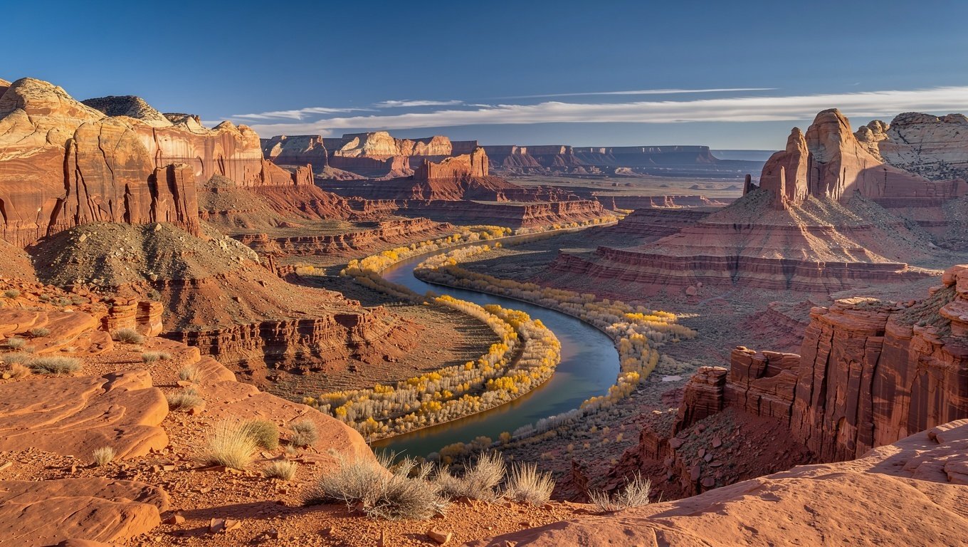
The south is a high desert of sandstone: Zion, Bryce Canyon, Arches, Canyonlands and Capitol Reef, spaced across roughly 300 miles of two-lane highway. The north is the Wasatch Range, where Salt Lake City sits twenty minutes from lift-served terrain that gets an average of 500 inches of snow a year.
Most first-time visitors try to do one or the other. The better trips do a little of both, because the drive between them is only about four hours — and the state is compact enough that you can ski in the morning and stand under a natural arch by late afternoon the next day.
What follows is organised the way people actually plan: pick a region, pick a base town, then work out the permits and the season. Every park page carries the same practical spine — how long to stay, what to hike, what it costs, and how far it is to the next stop.
Compare the five parks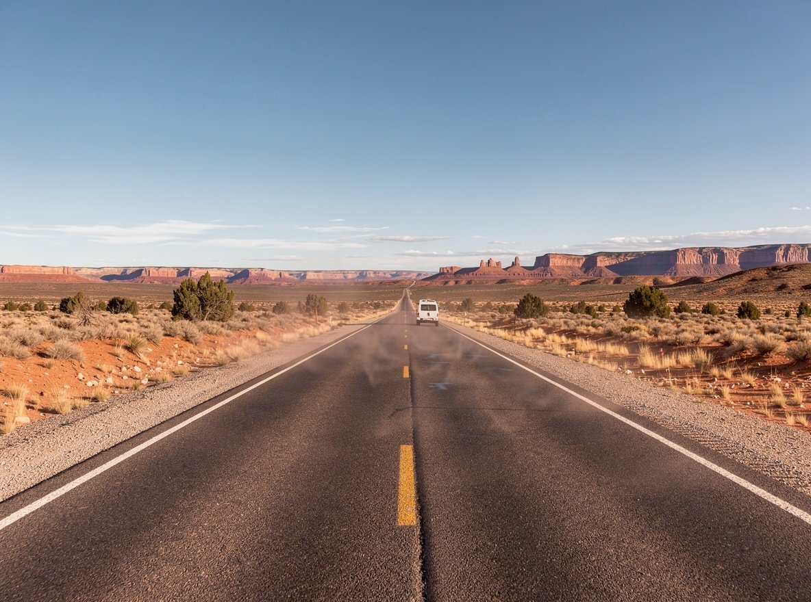
Before you book anything
Four things that make or break a Utah trip
None of these are secrets, but each one catches people out — usually after the flights are already paid for.
A car is not optional
Outside Salt Lake City there is no meaningful public transit to the parks. Zion runs a shuttle inside the canyon, but you still have to drive there. Book the rental early — summer inventory in St. George and Moab sells out.
Permits are the real bottleneck
Angels Landing in Zion needs a lottery permit. Arches has timed entry part of the year. The Wave — technically outside the parks — is a separate lottery with single-digit odds. Know which ones apply before you set dates.
The season flips the state
July in Zion regularly exceeds 38 °C (100 °F) on the canyon floor. The same month is pleasant at Bryce, which sits above 8,000 feet. Meanwhile Park City is mud season in April and deep winter in January.
Base towns beat park lodges
In-park lodging is scarce and books out a year ahead. Springdale (Zion), Moab (Arches and Canyonlands), Torrey (Capitol Reef) and Bryce Canyon City all put you at the gate with real restaurants nearby.
The core of most visits
The Mighty 5 national parks at a glance
Five parks, one state, and a very different personality in each. This is the shortest honest summary of what separates them.
| Park | Signature | Time needed | Vehicle fee | Nearest base |
|---|---|---|---|---|
| Zion | Towering canyon walls, the Narrows, Angels Landing | 2 days | $35 / 7 days | Springdale |
| Bryce Canyon | Hoodoo amphitheatres and dark skies | 1 day | $35 / 7 days | Bryce Canyon City |
| Arches | 2,000+ natural arches, Delicate Arch | 1–2 days | $30 / 7 days | Moab |
| Canyonlands | Vast river-carved districts, Mesa Arch | 1 day (or 3) | $30 / 7 days | Moab |
| Capitol Reef | The Waterpocket Fold, orchards, emptiness | 1 day | $20 / 7 days | Torrey |
Fees are per private vehicle for a 7-day pass and change periodically — confirm on the National Park Service site before you travel. An America the Beautiful annual pass ($80) pays for itself at three parks.
The combination most people miss
Parks and powder in the same week
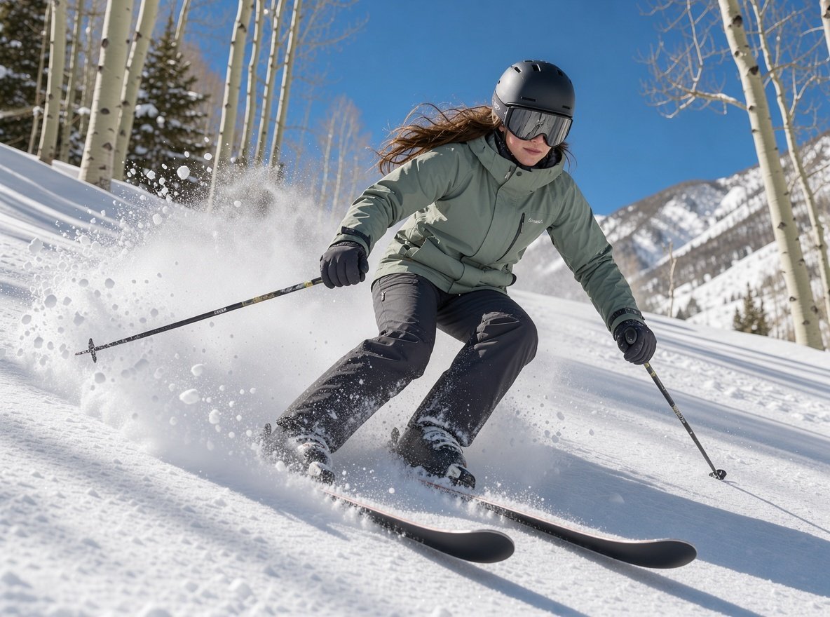
Salt Lake City is the hinge. Fly in, ski two or three days in the Wasatch, then drive south to Moab or Zion — or do it in reverse and finish with a hot shower and a proper dinner.
Seasonality
The best time to visit Utah depends on which Utah
There is no single answer, because the state spans two climate zones and about 5,000 feet of elevation. What is miserable in one place is perfect in another.
Spring (March–May) is the sweet spot for the southern parks: daytime highs in the 20s°C, wildflowers, and runoff that makes the Narrows cold but the waterfalls loud. Snow lingers on Bryce's rim into April.
Summer (June–August) brings heat and crowds to Zion and Arches. Go early, carry more water than you think, and consider Bryce or the high country instead. Monsoon storms arrive in July and August — the flash-flood risk in slot canyons is real, not theoretical.
Autumn (September–November) is arguably the best all-round window: cooler days, thinner crowds after mid-September, and cottonwoods turning gold along the Fremont River.
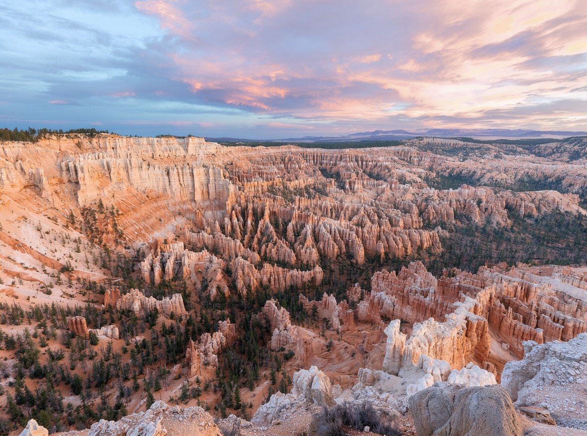
Winter (December–February) is ski season in the north. In the south, Bryce under snow is one of the most beautiful things in the state, and Zion is nearly empty — though some services close and trails ice over.
Shoulder-season rule of thumb
Late April to mid-May and mid-September to late October give you the best ratio of weather to crowds across the whole state.
Ready-made routes
Itineraries built around real driving distances
Each one lists the actual hours behind the wheel, not just the highlights — the most common planning mistake in Utah is under-budgeting the road.
The Mighty 5 loop
Salt Lake City down to Zion, back up through Bryce, Capitol Reef and Moab. The classic circuit, with the longest driving day called out.
View routeWasatch powder, then canyon country
Three ski days out of Salt Lake City, then south to Moab. Designed for a winter trip that does not want to choose.
View routeA gentle first trip with kids
Short drives, shaded trails, ranger programmes and swimming. Zion and Bryce only, with no day over three hours.
View routeUniversity towns as bases
Salt Lake City (University of Utah) and Cedar City (Southern Utah University) are both credible places to sleep and stage from — Cedar City is under an hour from Zion and about 90 minutes from Bryce. Provo, Logan, Orem, Ogden and St. George add cheaper lodging and their own reasons to stop.