Practicalities
Plan a Utah trip: seasons, permits, fees and what to pack
Everything that is easier to know before you book. Straightforward, occasionally boring, and the difference between a good trip and a frustrating one.
01 · Timing
When to visit Utah
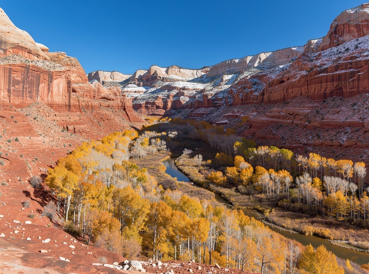
Utah spans two climate zones separated by about 5,000 feet of elevation. There is no single best month — only a best month for each place.
The southern parks sit between 1,200 and 2,800 metres. Zion's canyon floor hits 38 °C regularly in July, while Bryce at 8,000 feet is 5–8 degrees cooler and holds snow into April. The northern mountains run a full winter ski season from late November to mid-April.
| Month | Southern parks | Bryce (2,400 m+) | Wasatch skiing | Verdict |
|---|---|---|---|---|
| January | Cold, quiet, 5–12 °C | Snowbound, below freezing | Peak season | Ski or dark skies |
| February | Cool, clear, very quiet | Snow, snowshoeing | Deepest base | Best ski month |
| March | Warming, 15–20 °C | Snow lingers on rim | Good, longer days | Quiet shoulder |
| April | Excellent, wildflowers | Cold mornings, mild days | Closing weeks | Very good |
| May | Near-perfect, 25 °C | Comfortable, busy | Closed / mud | Best all-round |
| June | Hot, 32 °C+ | Ideal, warm days | Summer activities | Good, start early |
| July | Very hot, monsoon storms | Busiest, pleasant | Summer activities | Avoid Zion midday |
| August | Hottest, flash-flood risk | Busiest, afternoon storms | Summer activities | Hardest month |
| September | Cooling, excellent | Crisp, thinning crowds | Quiet | Excellent |
| October | Ideal, 22 °C | Cold nights, clear | Waiting for snow | Best all-round |
| November | Cool, very quiet | Snow begins | Early openings | Good value |
| December | Cold, quiet, short days | Winter wonderland | Holiday peak | Quiet or expensive |
Temperatures are daytime highs at typical trail elevations and vary significantly year to year. Always check the forecast and the park's own advisories before heading out.
02 · Money and permissions
Permits and entrance fees
Entrance fees are simple. Permits are the part that needs attention, because the rules differ by park and change from year to year.
| Park | Vehicle | Motorcycle | Per person |
|---|---|---|---|
| Zion | $35 | $30 | $20 |
| Bryce Canyon | $35 | $30 | $20 |
| Arches | $30 | $25 | $15 |
| Canyonlands | $30 | $25 | $15 |
| Capitol Reef | $20 | $15 | $10 |
Fees are set by the National Park Service and can change. Check the official park pages before travelling. The America the Beautiful annual pass is $80 and covers entrance at all federal recreation sites for a year.
Permits that actually matter
- Angels Landing, Zion — a lottery, seasonal and day-before. Apply in advance and have a backup plan.
- Arches timed entry — a reservation for an entry window in peak season, on top of the entrance fee. Has been extended and adjusted year to year.
- Backcountry camping — required in all five parks, reserved in advance.
- White Rim Road, Canyonlands — day use and overnight both need permits.
- The Fiery Furnace, Arches — permit or ranger-led tour.
- River trips — commercial outfitters hold permits; private trips need a lottery.
The pass arithmetic
Three parks at $35, $30 and $20 comes to $85 for one vehicle — more than the $80 annual pass. If you are visiting three or more federal sites in a year, the pass is the cheaper option.
The pass also covers national monuments, BLM sites and national forests, which matters in Utah because several of the best stops — Grand Staircase–Escalante, Cedar Breaks, Natural Bridges — are outside the Mighty 5.
Free entry days
The National Park Service waives entrance fees on a handful of dates each year, usually including Martin Luther King Jr. Day, the first day of National Park Week, and Veterans Day. They are also the busiest days — plan accordingly.
03 · Transport
Getting around Utah
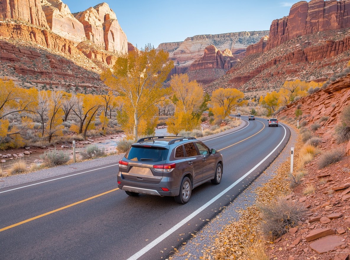
Outside Salt Lake City, public transport to the parks does not exist in any practical sense. You need a car, and you should book it early.
Rental inventory in St. George and Moab is limited and sells out in peak season. Airport pickups in Las Vegas and Salt Lake City are far more reliable. One-way rentals between them are possible, usually with a drop-off fee.
Keys to driving in Utah
- Distances deceive. Roads follow terrain, not straight lines. Add 30–50% to map estimates on scenic routes.
- Fuel up early. Between Torrey and Hanksville, or Green River and Moab, stations are sparse. Never pass a pump on a remote stretch.
- Wildlife at dusk. Deer and elk on the road after sunset are a genuine hazard, especially on Highway 89 and Route 12.
- Winter traction laws. Utah enforces them. On canyon roads in storms, carry chains or drive four-wheel drive.
- Flash floods. Never drive through water covering the road. It takes far less depth than people expect to move a car.
- Mobile coverage. Patchy to absent across much of the southeast. Download offline maps before you go.
Public transport where it exists
Salt Lake City has TRAX light rail, FrontRunner commuter rail and a bus network. Zion and Springdale both run free shuttles. Bryce and Arches have none. That is roughly the full extent of it.
| From | To | Distance | Time |
|---|---|---|---|
| Las Vegas (LAS) | Zion / Springdale | 270 km | 2 h 45 m |
| Salt Lake City (SLC) | Moab | 375 km | 3 h 45 m |
| Salt Lake City (SLC) | Park City | 50 km | 40 m |
| Zion | Bryce Canyon | 135 km | 1 h 50 m |
| Bryce Canyon | Capitol Reef / Torrey | 190 km | 2 h 30 m |
| Capitol Reef | Moab | 260 km | 3 h 15 m |
| Moab | Arches entrance | 8 km | 10 m |
| Moab | Canyonlands (Island in the Sky) | 51 km | 45 m |
04 · What to bring
Packing lists
Two very different packing problems in one state. If you are doing both, the overlap is smaller than you would like.
Desert and canyon country
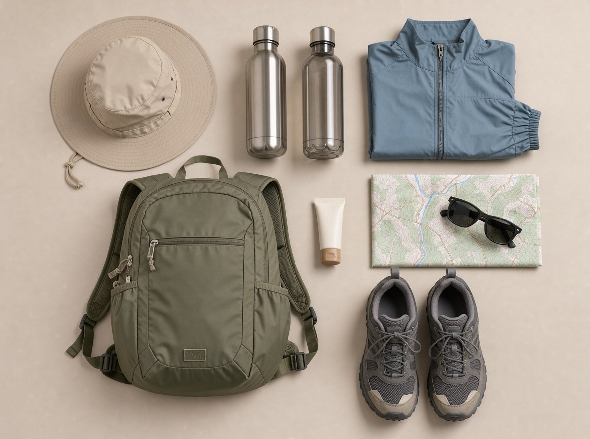
- Wide-brim hat and UV-blocking sunglasses
- Light long-sleeve sun shirt — better than sunscreen alone
- At least 2 litres of water capacity per person, 4 in summer
- Trail shoes with grip; sandals are useless on slickrock
- Electrolyte tablets — heat illness is usually a salt problem too
- Fleece or light jacket; desert nights drop 15 °C or more
- Head torch, especially for sunrise starts and night skies
- Lip balm, moisturiser, and more sunscreen than you think
- Offline maps and a paper backup for remote stretches
Do not forget
Water containers you can actually carry, and a way to keep your phone charged without the car — cold nights drain batteries and there is no power at most trailheads.
Snow and mountains
- Layered system: base layer, insulating mid-layer, waterproof shell
- Waterproof gloves plus a spare pair
- Goggles and helmet if skiing; rent boots locally for fit
- Snow boots with real tread for town and trailheads
- Balaclava or neck gaiter — the Wasatch wind is serious
- High-factor sunscreen; snow reflects UV twice over
- Traction devices for icy rim trails in the southern parks
- Swimsuit — most lodging has a hot tub, and you will want it
Rent rather than pack
Ski and snowboard gear, canyoneering shoes for the Narrows, and dry bags are all available in the gateway towns. Renting boots locally usually beats flying with your own.
Planning questions
What is the best month to visit Utah?
Late April to mid-May and mid-September to late October for the southern parks. Mid-January to late February for skiing. July and August bring extreme heat to Zion and Arches but are pleasant at Bryce, which sits above 8,000 feet.
How much do Utah national parks cost?
Per vehicle for seven days: Zion, Bryce Canyon and Canyonlands $35, Arches $30, Capitol Reef $20. The America the Beautiful annual pass is $80 and covers all federal lands, paying for itself at three parks.
Do you need to reserve park entry in advance?
Not for most parks. Arches has used a timed entry pilot in peak season, and Zion requires the free shuttle rather than a reservation. Angels Landing needs a lottery permit and backcountry camping needs permits everywhere. Confirm current rules on the official park pages.
Is it safe to hike in Utah in summer?
Yes, with adjustments. Start at or before sunrise, carry at least four litres of water per person on exposed trails, use electrolytes, and turn around before you feel unwell. Heat illness is the most common incident in the southern parks, and it is entirely preventable.
Do you need four-wheel drive in Utah?
For the national park scenic drives, no — all are paved. You need genuine high clearance for the White Rim Road, Cathedral Valley and the Maze. In winter, four-wheel drive or chains are required on canyon roads during storms.
Can you drink the tap water?
Yes, throughout Utah's towns and cities. In the parks, potable water is available at visitor centres and campgrounds but not on trails. Refill before you set out rather than buying bottled water.